
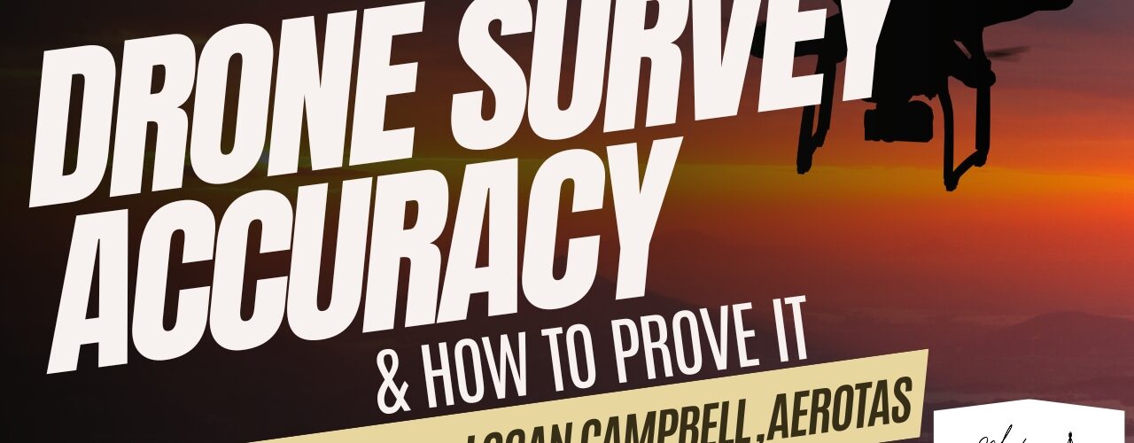


Logan Campbell of Aerotas presents on Drone Survey Accuracy and how to prove it.
| Meeting summary for Mentoring Mondays for the Land Surveying Profession (04/15/2024) Quick recap Trent and Logan discussed their upcoming conferences, the use of remote work, and Logan’s 10-year anniversary in founding Aerotos. They also delved into the complexities of drone survey accuracy, the importance of proper data processing, and the use of various drone technologies for surveying. Lastly, they shared their experiences in photogrammetry, the use of drones for aerial surveys, and the potential impact of NSRS 2025 on their work. Next steps • Logan will provide a link to the Asphalt Pavement Accuracy Standards (ASPAS) document for the team. • The team will aim to collect 5 check shots per project for vegetated and non-vegetated areas, following the guidelines provided by Logan and Trent. • Trent will send the team the presentation deck with additional slides after the meeting. • Jesse will try flying at 400 feet altitude for his next 100-acre site to improve processing efficiency. • Logan will look into the NSRS 2025 standard and its potential impact on drone operations. Summary Conference Plans, Remote Work, and Aerotos Founder Trent and Logan discussed their upcoming conferences, their costs, and anticipated attendees. They also talked about remote work and the use of Zoom, with Logan sharing a humorous anecdote about his lawyer friend’s experience with a judge’s request to have his camera on. Moreover, Logan’s 10-year anniversary since founding Aerotos was acknowledged, and his background in statistics, mapping science, and an MBA from Harvard Business School were highlighted. Finally, the topic of drone surveying accuracy was raised, with Logan expressing his willingness to share his knowledge on the subject. Drone Survey Accuracy and ASPRS Standards Logan led a discussion on drone survey accuracy, focusing on the definitions of accuracy and the state-of-the-art methods for creating and interpreting accuracy statements. He emphasized the practical impact of various drone technologies and field and flight operations on accuracy. Trent introduced Aerotas’ 10-year experience in drone data processing. Logan also clarified common misunderstandings about drone surveys and stated that most surveys target a tenth of a foot accuracy, supported by scientific data. He further explained the process of measuring and certifying accuracy and introduced the ASPRS Positional Accuracy Standards for Digital Geospatial Data, aiming to simplify and make it more practical for businesses. Map Accuracy and Spatial Surveying Principles Logan explained the complexities and evolving standards of map accuracy, emphasizing that accuracy is a probabilistic estimation of likely error and not a fixed number. He clarified the principles of error estimation in spatial surveying, introduced the concept of root mean squared error (RMSE) as the current gold standard for accuracy in aerial surveys, and explained its application in drone surveys. Logan also highlighted the differences between accuracy and precision, and how they apply to various surveying methods. Trent expressed interest in the topic, suggesting a class could be held to delve deeper into the subject. Enhancing Photogrammetry and Lidar Geolocation Accuracy Logan emphasized the importance of proper distinction between ground control points and check shots in photogrammetry and lidar geolocation for accurate measurement of errors. He highlighted the need for high accuracy in ground control data, ideally twice the target accuracy of the final product, and recommended using lasers for better accuracy. Logan also suggested the use of check shots to measure accuracy and recommended spreading them across the terrain for better distribution. He stressed the importance of frequent checks throughout the project to identify and rectify any errors promptly. Logan clarified the different certification levels according to the Positional Accuracy Standards (PAS) and recommended the second level, “Tested to Meet with Limited Check Shots,” as a good balance between accuracy and cost. He also detailed various factors impacting survey accuracy and recommended aiming for a tenth of a foot accuracy for aerial surveying. Lens Filters, Adobe Light Room, and Drones Logan shared his insights on the use of lens filters and Adobe Light Room for photogrammetry, emphasizing that they enhance image appeal but don’t improve data accuracy. He recommended keeping camera settings on auto for reliability, and highlighted the significance of proper exposure values for data capture. In terms of drones, Logan suggested the Autel Evo 2, DJI Phantom 4, and Mavic 3 Enterprise as viable options, with the latter being the preferred choice due to its quality survey results. For lidar systems, Logan recommended the DJI IM 3 50, despite its size, cost, and complexity. He also mentioned the Winter drone as a preferred alternative for government and military applications, despite its higher costs and certification challenges due to Chinese components. Sensor Technology and Survey Experiences Logan emphasized the significance of identifying the weakest link in sensor technology to enhance accuracy, rather than focusing on the strongest. He recommended better procedures over expensive hardware and discussed the importance of altitude, field of view, and lens quality in sensor technology. Logan also discussed the differences between nadir and oblique images, stating that nadir images are sufficient for most survey cases, but oblique images are beneficial for specific applications. Lastly, Logan and Trent discussed their experiences using Grand Canyon sites for surveying and mission planning, as well as the use of aerial lidar for mapping and the effectiveness of their range of ground control targets in various environments. Balancing Academic Precision and Real-World Practicality Logan discussed the trade-off between academic precision and real-world practicality, emphasizing that businesses often need to balance cost, time, and accuracy. He suggested that drones can provide good enough accuracy for many applications, but using expensive drones for aerial surveys can be impractical due to high costs. Logan also offered his team’s data processing services for free to demonstrate their capabilities. Trent agreed with Logan’s views and mentioned the prevalence of the Mavic 3 Enterprise RTC among survey companies, while Logan confirmed his team’s experience with processing data for large sites exceeding a thousand acres. Photogrammetry Experiences and Site Surveying Workflows Jesse, Logan, and Trent shared their experiences and workflows concerning photogrammetry and site surveying. Jesse presented challenges he faced with processing a large volume of photos from 30 to 100 acre sites, to which Logan suggested mission planning and using higher altitude for better accuracy in vegetated areas. Trent underlined the value of experience in determining the best GPS control points. The team also discussed their preferences for photogrammetry software, with Logan stating they primarily use Pixwor D’s mapper. The potential impact of NSRS 2025 on their work was briefly discussed, with Logan admitting he didn’t have sufficient information to provide a detailed answer. AI-generated content may be inaccurate or misleading. Always check for accuracy. |